
The LRIG3D project has been successfully delivered by DIGINEXT to the 10th parachutist commando (CPA10) as end-user. LRIG3D aims to evaluate the use of 3D indoor and outdoor reconstruction for preparation and supervision of military operations in urban environment. Special forces operations in urban environment (awareness, hostages recovery, ...) are a source of difficulties and increased risk, due to geographic and architectural complexity of mission environment, which are often not well know by the actors, due also to obsolete information and to population density which can compromise mission progress. The challenge in LRIG3D was to develop a tool which allows to greatly accelerate the creation process of urban environment mock-up and indoor buildings, based on a set of multi-sources and multiple formats data (GIS, CAD, 3D, images, videos, maps...).
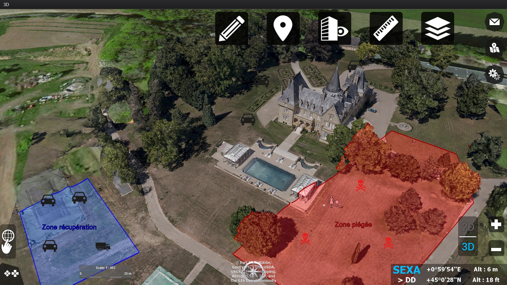 The tool is developed with VirtualGeo software solution using key features such as: - Import and edit of 3D data reconstructed from photogrammetry - Map editor for fast creation of indoor buildings - Quick 2D & 3D annotation tools - Integration point clouds captured by LIDAR devices - Analysis tools (distance, line of sight, inter-visibility) Learn more about VirtualGeo